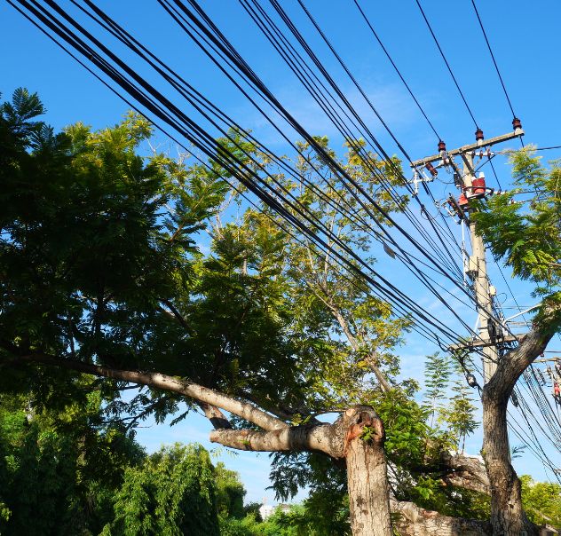
Aerial Inspection and Patrol Services
To learn more, call or message us at (682) 651-8493 or contact us online.
© Copyright 2003 - 2025 · All Rights Reserved · Texas Aerial Inspections, LLC
To learn more, call or message us at (682) 651-8493 or contact us online.
© Copyright 2003 - 2025 · All Rights Reserved · Texas Aerial Inspections, LLC