


Specialized Services
We provide additional services to further reduce risk and support operational efficiency.
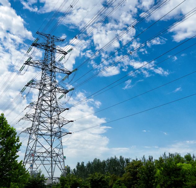
Aerial Patrols
Regular aerial patrols of your infrastructure ensures that anomalies are detected, documented, and addressed before they become a safety concern.
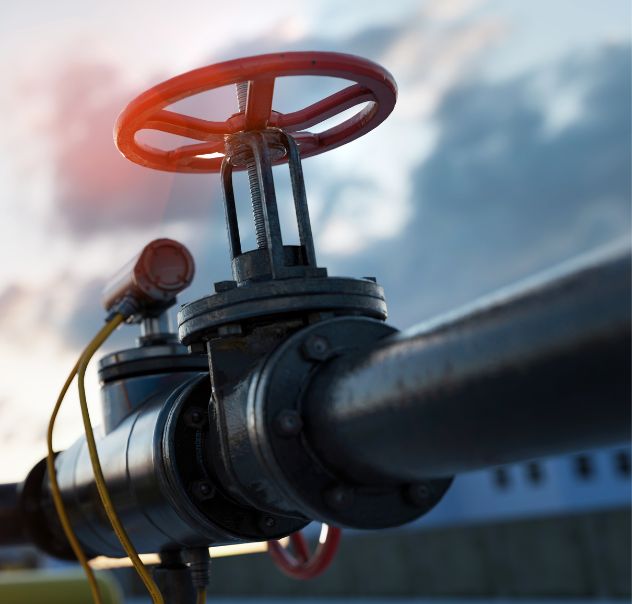
Onsite Inspections
Onsite assessments of anomalies provide detailed pictures and measurements to accelerate responses and reduce the costs of sending personnel to the field.
Specialized Services
We provide additional services to further reduce risk and support operational efficiency.
Aerial Patrols
Regular aerial patrols of your infrastructure ensures that anomalies are detected, documented, and addressed before they become a safety concern.
Onsite Inspections
Onsite assessments of anomalies provide detailed pictures and measurements to accelerate responses and reduce the costs of sending personnel to the field.