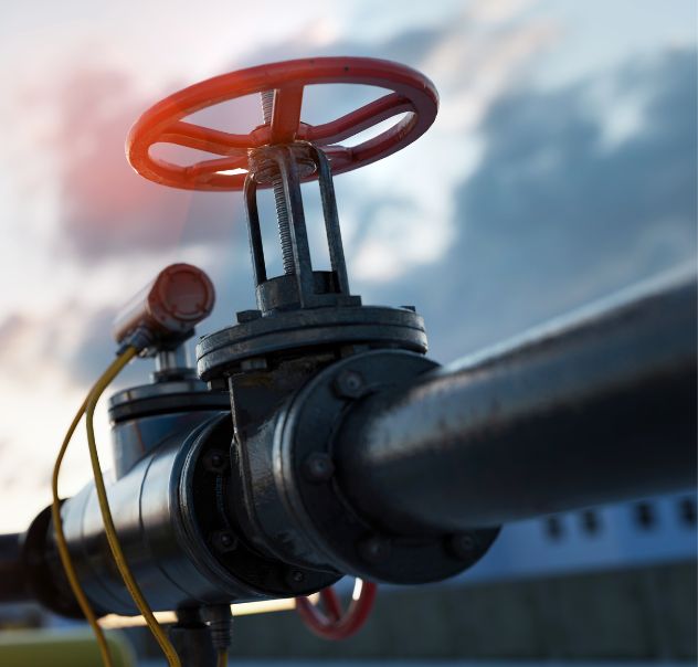
Aerial Inspection and Patrol
Pipeline Patrol
Regular aerial patrols of your pipeline corridor ensures that anomalies are detected, documented, and addressed before they become a safety concern. Immediate communication of any potentially high-risk encroachments is standard practice, and follow-up onsite assessments are available if needed. All reported observations include pictures, description, and an accurate GPS location.
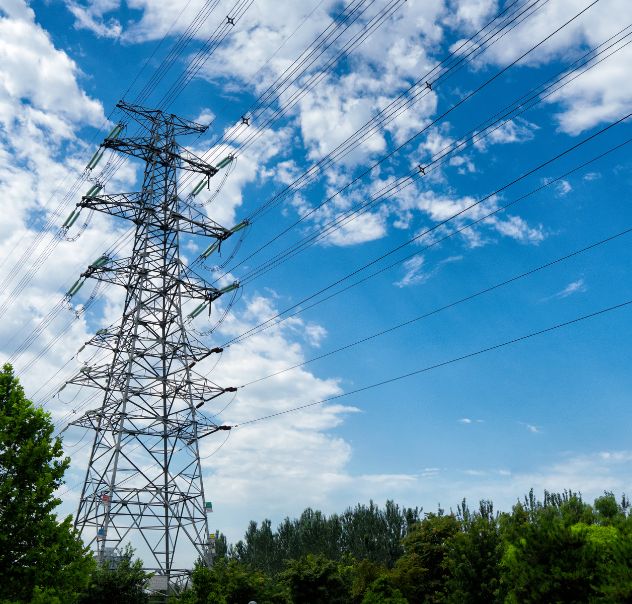
Aerial Inspection and Patrol
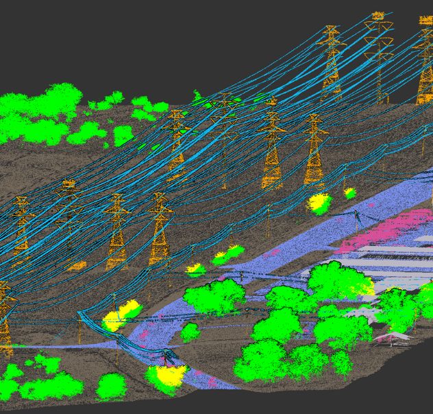
Power Line Inspection
Regular aerial patrols of your electric power line corridor ensures that anomalies are detected, documented, and addressed before they become a safety concern. Immediate communication of any potentially high-risk encroachments is standard practice, and follow-up onsite assessments are available if needed. All reported observations include pictures, description, and an accurate GPS location.
Geographic Information Systems (GIS)
GIS Analysis
We analyze and map location information to increase decision making confidence and improve communication. We provide GIS services to help you manage your assets more efficiently. This translates to lower operational costs, better documentation, and improved safety.
Aerial Inspection and Patrol
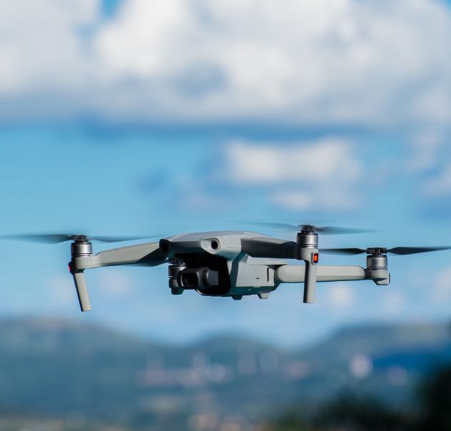
Drone Services
Unmanned Aerial Systems (UAS), also known as Drones, allow inspections to be performed from a safe distance while still providing the ultra-fine detail needed to evaluate the condition of your equipment. Spot inspections, mapping, and video of construction sites can support awareness and decision making at all levels.
Aerial Inspection and Patrol
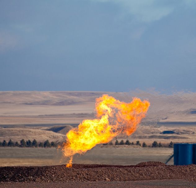
Methane Detection
Airborne lasers and special cameras are used to detect and measure methane concentration along aboveground and underground gas pipelines. Aerial inspection is more efficient than conventional land-based gas pipeline diagnostic methods, and can be used to detect methane leaks before they become a liability.